Tourism Destinatons
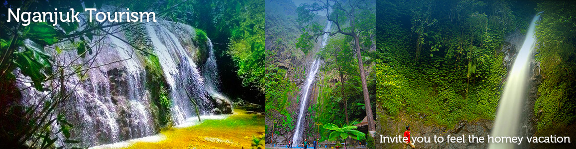
Nature Destination
Culinary
Religious Destination
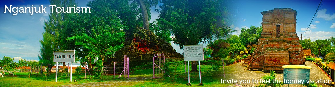
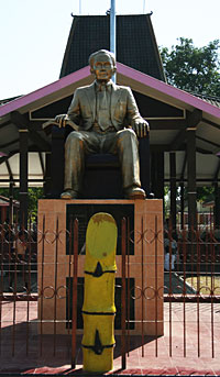
Historical Destination
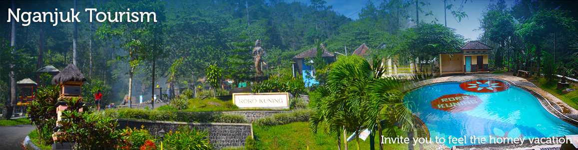
Develope Destination
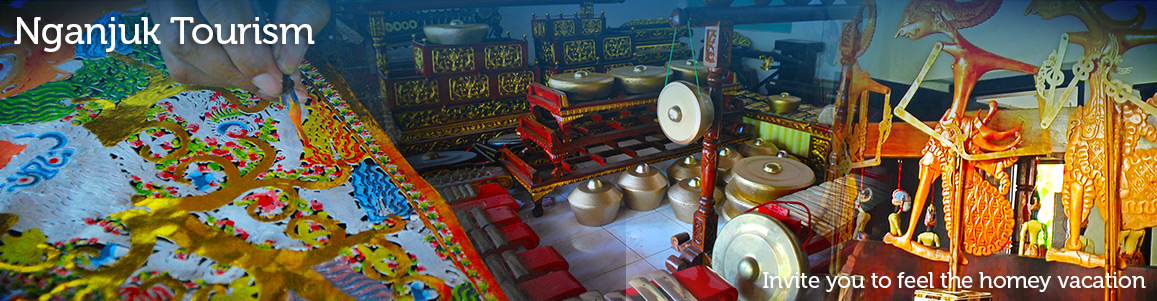
Handicraft Center
Traditional Destination
Nature Destination
Culinary
Handicraft Center
Religious Destination
Historical Destination
Develope Destination
Traditional Destination
About Nganjuk Regency
CLIMATOLOGY
Nganjuk regency located in 111o5' - 112o13' and 7o20' - 7o59'
LS.
GEOGRAPHICALLY
The boundaries of Nganjuk are:
North side : Bojonegoro regency
South side : Kediri regency and Trenggalek regency
East side : Jombang regency and Kediri regency
West side : Ponorgo regency and Madiun regency
TOPOGRAPHY
Nganjuk regency soil is contain of :
Field soil : 43.052.5 Ha
Dry soil : 32.373.6 Ha
Plantation soil : 47.007.0 Ha
Nganjuk regency has productive soil for varieties plants,
both rice plants and garden plants. It is because Nganjuk
is in lowland plain area and mountain area. That soil condition,
has good aspect for economy development. This condition also
supported by Widas river that flow along 69,332 km and fill
of 3.236 Ha area, and Brantas river that able to fill the
field 12.705 Ha width.
The high number of rain level in 2002 is January, 7.416 mm
rate 436 mm. The lowest is 600 mm in November with its rate
is 50 mm. In June till October, there is no rain at all.
WIDE AREA
Nganjuk regency width is + 122.433 km2 or 122.433 Ha.

Majapahit Temple and statue has been rediscovered in Nganjuk
At the end of January 2016 ago, building temples like and three ancient statues have been found at excavation site that belonged to Nurul Wakhid (50) in the village of Banjarsari, District Ngronggot, Nganjuk, East Java. Buildings with a length of 2.7 meters, 2.1 meters wide and 1.7 meters high, is made of red bricks. Looking at the shape that similar to temple, the building is allegedly made during the Majapahit Kingdom that was used as a place of worship at the time. The people discovering at the center…
Wooden Puppet
Handmade Wooden Puppet Puppet is the famous traditional performance in Java island. There are many kind of Puppet, such as; human puppet, wooden puppet, leather puppet, etc. All of those puppets usually played in special event. Nganjuk is one of area that produces leather puppet. This kind of puppet is made of animal leather, such as; goat or deer. The processes of leather puppet are by choosing good leather, designed it as puppet, dried and begin to color. More Details www.eastjava.com
The History Of Ngetos Temple
Ngetos Temple Candi Ngetos located at Ngetos village, Ngetos district about 5 kilometers to the south of Nganjuk town. There is an inheritance from the year of 859 Saka or 937 Masehi. This inheritance was made from the red bricks. On that place, Anjuk Ladang, the ancient inscription was also found. Near to this place, there is an historical ancient inheritance that was known by Candi Ngetos. According to the historian, based on that temple form, this temple has made in XV century (Majapahit era). Phisically, this temple has broken…
The History Of Hok Yoe Kiong Temple
Hok Yoe Kiong Temple It was half century ago, the Chinese people in Nganjuk town was Kong Hu Cu. Unfortunately, there were not such appropriate temple to go to. The only thing left was the altar for The Honor of Kongco Tik Tjoen Ong, which was in China Gathering Hall, today’s known as Dr. Soetomo Street, Nganjuk. Even though the condition of the temple was inappropriate, the Parish was large enough. Mr. Soen Boen Lee is one of the parishes who always come to pray to the temple. Since he…