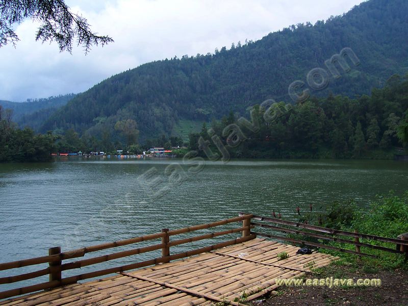

The area of Bromo Tengger Semeru National Park covers 50,273.30 hectares of mountainous highland and fertile valley, between 1,000 – 3,676 M above sea level. Beside the area is dominated by mountainous, there are also 4 lakes inside, namely : Ranu Pani (4 Ha), Ranu Regulo (0,75 Ha), Ranu Kumbolo (14 Ha), and Ranu Darungan (0,50 Ha). Geographically the area lies between 7°54’ – 8°13’ South Latitude and 112°51’ – 113°4’ East Longitude on the globe. Administratively is situated in four regencies, i.e : Probolinggo, Pasuruan, Malang and Lumajang – East Java Province.
The green refreshing atmosphere around Ranu Pane will re-charge the tenses within the daily activities, the friendly inhabitant and the situation itself will bring you there more and more.
More info visit: www.lumajang.eastjava.com