Larat Island, The Island Of The Light

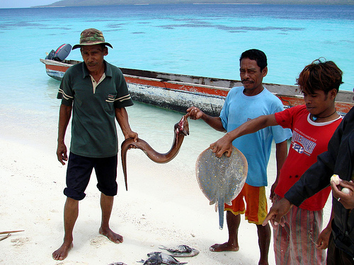
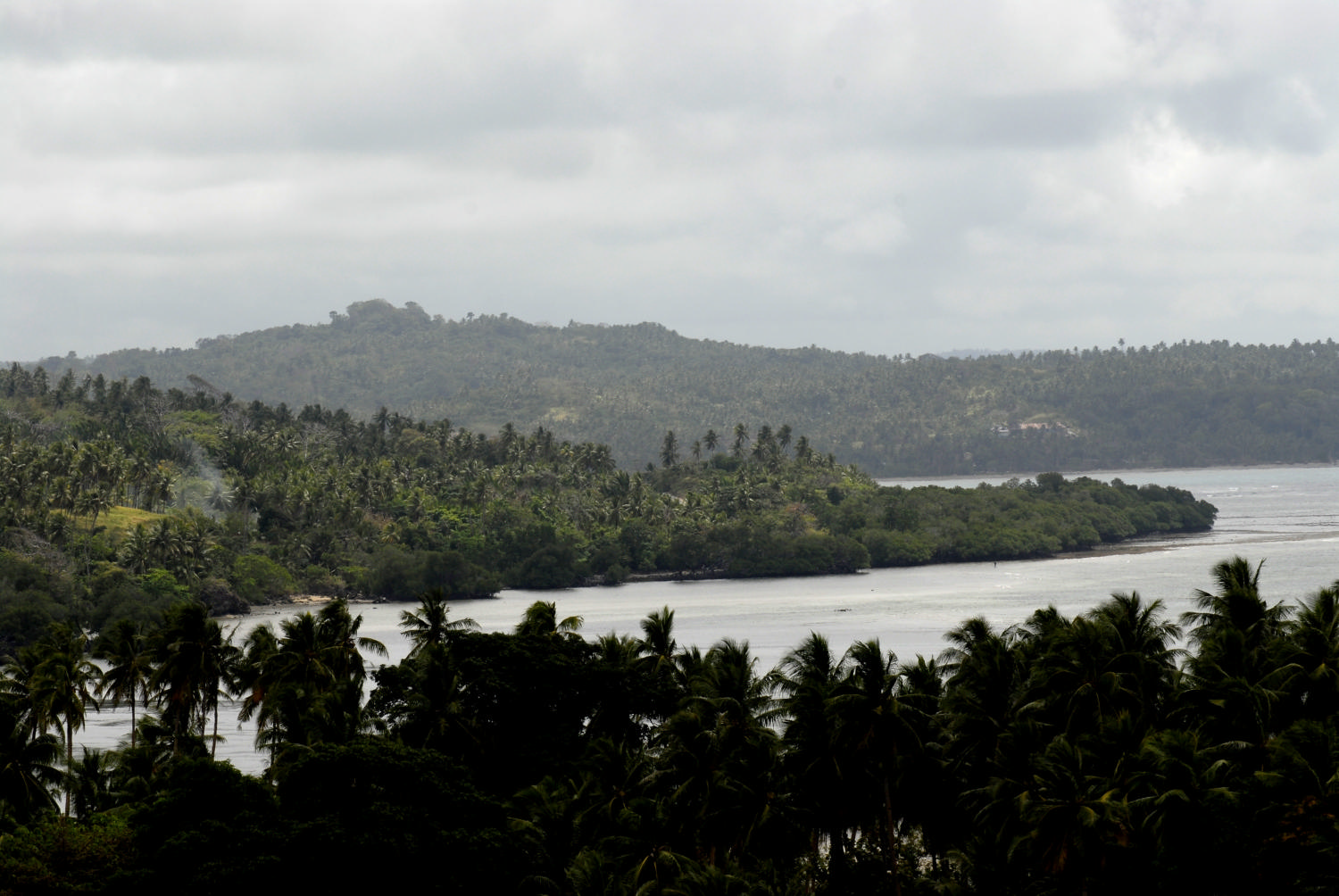
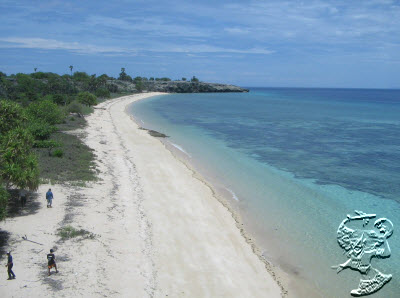
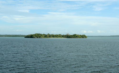
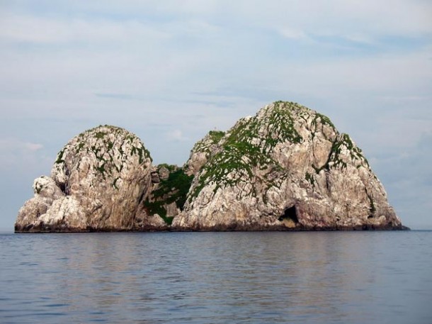
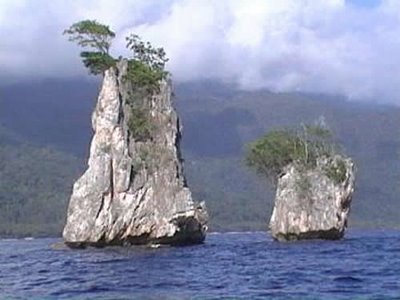
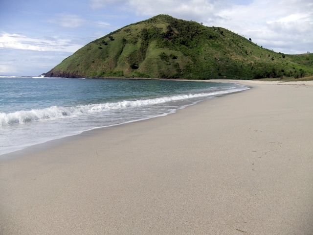
Larat Island Larat Island is the outer island of Indonesia that located in the Aru Sea and it is bordered by the states of Australia. Larat Island is part of the government of ??West Southeast Maluku regency, Maluku province. Larat Island is one of 92 frontline island in Indonesia. On this island, there are points that determine sea borders between Indonesia and Australia. This small island is administratively a district of North Tanimbar mainland of West Southeast Maluku (MTB). To go to Larat island can only be reached by sea,…

Tanimbar Islands, The Traditions Beneath The Beautiful Islands

Tanimbar Islands Tanimbar Islands or East Sea is a group of islands in Lesser Sunda Islands, which is the largest island of Yamdena. Yamdena island has an area of 3333 km ² stretching from north to south. On the Yamdena island there are about 40 villages that located on the coast. The people are dependent on subsistence agriculture and fishing. There are two major cities in the island, namely Saumlaki Yamdena (the district capital) and Larat (North Tanimbar district capital). Tanimbar Islands is one of the islands in the West…

Leti Island

Leti Island Leti Island is the outer islands of Indonesia, it located in the Timor Sea and is bordered by the Timor Leste. Leti Island is part of the government area of ??Southwest Maluku regency, Maluku province. The nearest places to Pulau Leti are Luhulele (4 km southwest), Tombra (4 km north), Serwaru (4 km north), Nuwewan (6 km northeast), and Laitutun (7 km northwest). www.indonesia-tourism.com

Enu Island, The Home For The Turtles

Enu Island Enu Island is an island that located in the outermost Indonesia, which is in Arafuru Sea and it bordering with Australia. Enu Island is part of ??Southeast Maluku regency, Maluku province, Indonesia. The island is located in the south of Aru island. Pulau Enu is a small island in the Arafura Sea at the southeastern corner of the Aru group. Located on the south side of the island. Accessible only by boat. Site status unknown. Instead of the beautiful natural sightseeing, Enu island is also famous for the…

East Java On September 2012

The East Java’s Calendar of Events 2012 contains the schedule of some traditional ceremonies, traditions, festivals and performances which held in the cities and the regencies in East Java. It is designed to promote and to publicize the tourism agenda in the whole area in East Java. It is important to inform that the local communities usually determine the schedules of the ceremonial events by using the calendars of Javanese, Moslem, and Hindu Tenggerese. Therefore, to assure the exact date of the events, it is advisable to confirm the local…

The Incredible Kei – Maluku

Kei Islands Kai Islands (or Kei) in Indonesia is located in the southeastern part of the Maluku Islands, part of Maluku province. Locals call these islands as Nuhu Evav (“Evav Islands”) or Evav Land (“Evav State”), but it knows as Kei or Kai by the residents outer islands. “Kai” is actually the title of the colonial Dutch East Indies, and it is still written in old sources book. The archipelago is located in the south of the Bird’s Head Peninsula of Irian Jaya, west of the Aru Islands, and in…

Marsela Island – Southwest Maluku

Marsela Island Marsela Island is Indonesia’s outer islands in the Timor Sea and is bordered by the Timor Leste / Australia. Marsela Island is part of the government area of ??Southwest Maluku regency, Maluku province. Marsela Island has second largest Natural Resources in the World which is Marsela Oil Block. Marsela Island has some villages include: Ilbutung, Marsela, Bululora, Latalola Kecil (LTK), Serili, Latalola Besar (LTB), Uiwly, Nura, Lawawang, Iblatmunta, and Babyotan. www.indonesia-tourism.com

Damar Island, Maluku

Damar Island, Maluku Damar Island is an island that located in the northern part of the Southwest Islands of Maluku province. There are seven island villages which are concentrated in the north and west coast of the island. The topography of this region is undulating to the edge, and it low mountainous in the central part. This island produces coconuts, cashew nuts, coffee, cocoa, cloves, and nutmeg. There are also numbers of bird habitats that live in this island, like Ducula concinna, Ducula rosacea, Eos reticulata, Trichoglossus euteles, Chrysococcyx rufomerus,…

Buru Island, The Exotic Land Among The Historical Era

Buru Island Buru island is the third largest island within Maluku Islands, Indonesia. It lies between the Banda Sea to the south and Seram Sea to the north, west of Ambon and Seram islands. The island belongs to Maluku province and includes the Buru regency and South Buru regencies. Their administrative centers, Namlea and Nampole. Respectively, it has ports and the largest towns of the island. There is a military airport at Namlea which supports civilian cargo transportation. The island was first mentioned around 1365. Between 1658 and 1942, it…

Ambon Island, The Attractive Historical Island

Ambon Island Ambon Island is part of the Maluku Islands, Indonesia. The island is mountainous, well watered, and fertile. Ambon Island consists of two territories: The main city and seaport is Ambon, which is also the capital of Maluku province and Maluku Tengah. Ambon Island lies off the south-west coast of the much larger Seram island. It is on the north side of the Banda Sea, part of a chain of volcanic islands that encircle the sea. The Ambonese are of mixed Malay-Papuan origin. They are mostly Christians or Muslims.…