Tebingtinggi Island – Riau

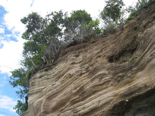
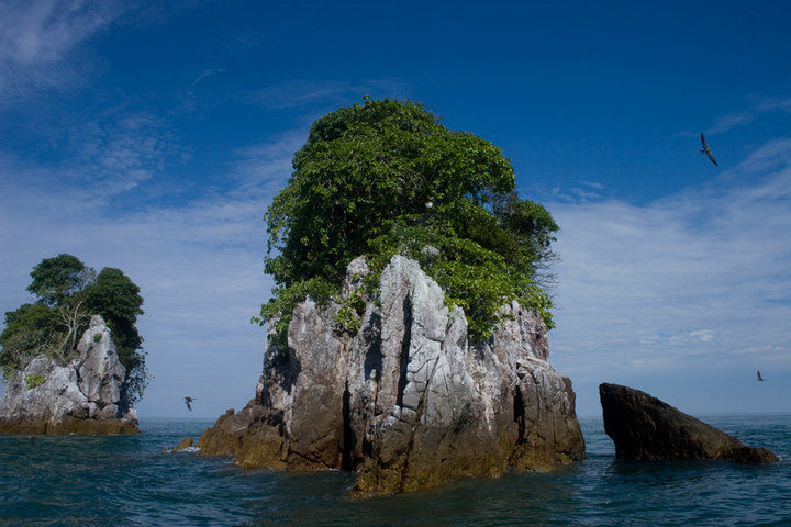
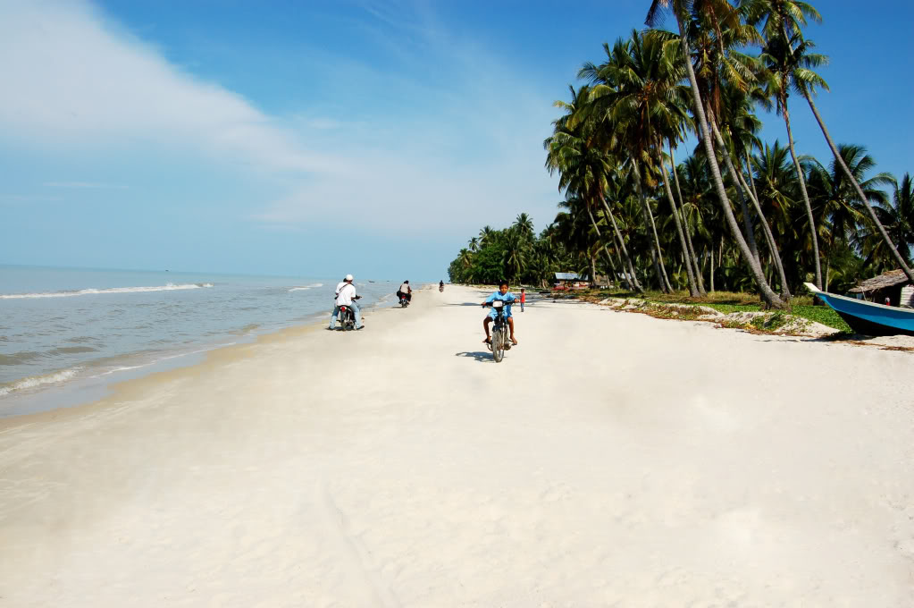
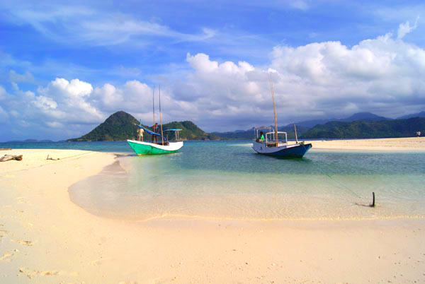
Tebing Tinggi Island Pulau Tebingtinggi or literally means high cliff island, is an island in Riau province, which is geographically located at latitude (0.9 degrees) 0° 54′ 0″ North of the Equator and longitude (102.75 degrees) 102° 45′ 0″ East of the Prime Meridian on the Map of the world. The locations related to Pulau Tebingtinggi are represented by the nearest distances for a beam of light to travel and may not be nearest by road. For example, Pulau Tebingtinggi, is located 11.7 kilometre from Selatpandjang, 11.7 kilometre from Selat…

Jemur Island – Riau

Jemur Island Jemur Island or Pulau Jemur is an island of Indonesia which is located in the Strait of Malacca, about 45 miles from capital of Rokan Hilir regency, Bagansiapiapi, and about 45 miles from Malaysia. This island is administratively part of Pasir Limau Kapas sub-district, Rokan Hilir regency,Riau province. Jemur islands are uninhabited and only a stopover place for fishermen who are to sea. A post of Indonesian Navy (TNI-AL) was established in this island for the purposes of observation and navigation. Currently, there is no accommodation in this…

Rupat Island – Riau

Rupat Island Rupat is an island in the Strait of Malacca, and administratively part of Bengkalis regency, Riau province. It lies just off the eastern coast of Sumatra, across from Dumai city, across the Strait of Rupat (Selat Rupat). Rupat was one of thousands of abandoned islands, but now the population is growing year after year, then it makes them expand the area for the settlement. This island is can be reached from Pekanbaru, Dumai or Bengkalis. The main transportation line from and to the island is by the sea.…

Bawean Island

Bawean Island Pulau Bawean is an island that located approximately 150 km north of Surabaya, in the Java Sea, off the coast of Java. It is administratively part of Gresik Regency, East Java. It is approximately 15 km in diameter and is circumnavigated by a single narrow road. Bawean is dominated by an extinct volcano at its center that rises to 655 m above sea level. The island is populated for about 75,000 people, but more than 26,000 of them (that is about 70% of the male population) were temporarily…

Parang Island – Karimunjawa

Parang Island Parang islands and surrounding waters (Parang island, Kumbang island – Kumbang Sandbar, Kembar Island/ Twin Island – Kembang Sandbar – Taka Selikur, Katang island – Katang sandbar – Taka Karang Besi, Nyamuk island, Krakal Besar island, Krakal Kecil island – Taka Karang Kapal. This island is part of Karimunjawa archipelago, which consist of 27 islands, and located in the northwest of the island. It can be reach for 1 hour drive by using inter-island boat or 1,5 hours drive by using local fishing boats.        …

Kemujan Island

Kemujan Island Kemujan Island, also known as Kamodian, Kemujan, Poelau Kemoedjan, Pulau Kemudjanis, one of islands that located in Karimunjawa, Jepara. This island is administratively located in the district of Karimunjawa. The island has a marine dock facilities, Dewodaru airport and Diesel. This island has a population of 2936 people with different livelihoods. The island has a rainfall average of 3,000 mm per year with an average temperature of 30-31 º C. The economic potential of the island is in the form of marine fisheries, potential fishing, seaweed farming and…

Karimunjawa: The Hidden Treasure Is Here

Karimunjawa Karimunjawa is an archipelago of 69 Islands and located in Java Sea, approximately 80 kilometres northwest of Jepara. By the natural beauty of coral reefs, seaweed, and sea grass in diverse marine biota, mangrove forests, mountains and the remaining lowland tropical forests, everything is under the natural resource that making Karimunjawa as a Sea National Park. Karimunjawa is so rich and fascinated by the exotic flora and fauna. This area has several kinds of flora ecosystems, like coral reefs, mangrove forests (sea grass), coastal forests, and lowland forest. On…

Halmahera Island

Halmahera Island Halmahera, which also known as Jailolo or Gilolo, is the largest island in the Maluku Islands. It is part of the North Maluku province of Indonesia and Sofifi, the capital of the province. It is located on the west coast of the island. This island is consist of 5 regencies: Halmahera Timur / east Halmahera, Halmahera Selatan / south halmahera, Halmahera Barat / west halmahera, Halmahera Utara / north Halmahera, and Halmahera Tengah / central Halmahera. The island is shaped in K letter, it almost like a miniature…

Gebe Island, North Maluku

Gebe Island Gebe island is an island that located in the easternmost end of North Maluku, precisely part of central Halmahera regency, North Maluku. But in fact geographically, culturally and faunistically it already part of the Raja Ampat Islands of neighbouring West Papua. Locally, it is best known for its large mine. Gebe island is divided in four villages, which is Sanafi, Kacepi, Umera, and Omnial that located in Yoi island. Most people on Gebe, especially in the main town, are migrants from other regions attracted by jobs in the…

Bacan Island, The Marvelous One

Bacan Island Bacan is a group of islands in the Maluku Islands and becomes the largest island on the territory. The islands are mountainous and forested. The islands lie in south of Ternate and west of Halmahera’s southernmost arm. Bacan itself is the largest; while, the second and third largest islands are Kasiruta and Mandioli. The rest are about dozens of smaller islands in the group. Bacan Island is part of North Maluku province, precisely located in the Bacan sub-district. Bacan is an island that inhabited by any of the…