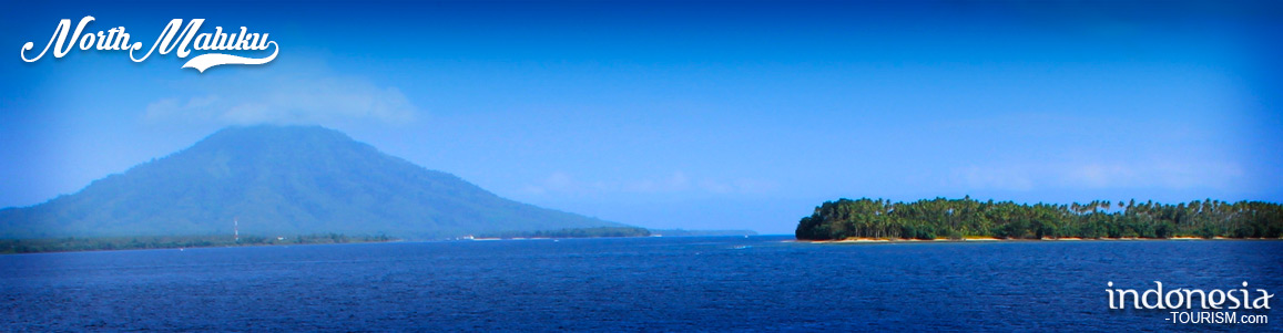
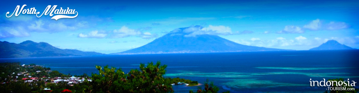
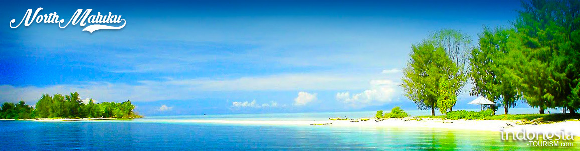

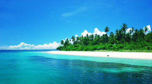
North Maluku
TRANSPORTATION
Air and sea transportation are the main means, which link the islands together. Good roads on the islands provide easy access to the often-remote places of interest.
CLIMATE
There are two seasons that are suitable for sailing to these islands: February-March and October-November, when the wind and the waves are low.
GEOGRAPHICALLY
The boundaries of North Maluku is:
East Side: Halmahera Sea
West Side: Maluku Sea
North Side: Pacific Ocean
South Side: Seram Sea
WIDE AREA
The wide area of North Maluku Region is 164.370,12 Km2.
DEMOGRAPHY
The population of North Maluku is 870,000 (according to the National Socio-Economic Survey, 2004, making it the least populous province in Indonesia. The Tribes are: Module, Pagu, Ternate, Makian Barat, Kao, Tidore, Buli, Patani, Maba, Sawai, Weda, Gne, Makian Timur, Kayoa, Bacan, Sula, ange, Siboyo, dan Kadai. Galela, Tobelo, Loloda, Tobaru, Sahu. The religions that had developed in Maluku are Islam, Protestant, Catholic, Buddha, etc.
GOVERNMENT ADMINISTRATIVELLY
Maluku Province has 5 Regencies, 2 city, 45 districts, 650 villages and 80 sub-districts. They are:
- West Halmahera Regency
- Sula Islands
- South Halmahera Regency
- North Halmahera Regency
- East Halmahera Regency
- Ternate City and Tidore islands